
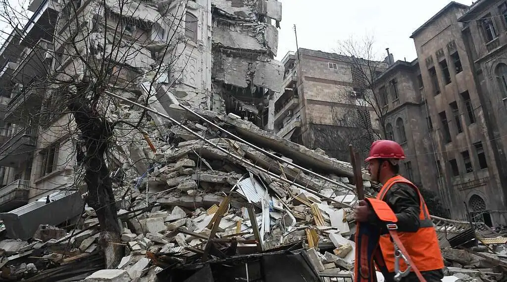
Israel’s Real-Time Technology Aids Turkey Earthquake Response
The Times of Israel reports that Israeli aid workers responding to the deadly tremors in Turkey as well as Syria are using cloud computing to improve their ability to respond quickly and effectively. Carbyne, an Israeli company, is helping the first rescuers of United Hatzalah, a non-profit essential medical rescue group, share location information, recordings, and photographs in real-time. The platform connects responders on the ground with Israeli medics as well as other professional groups who can provide immediate, potentially life-saving assistance.

According to an Israeli publication, United Hatzalah’s head of contact centers and technology, Zohar Eli, said that Carbyne’s high-definition video features provided a more accurate depiction of the scene during remote discussions with specialists. Call center dashboard technology that integrates location settings, live video conferencing, incident tracking, as well as other communication technologies delivers instant support to responders in dangerous circumstances.
Carbyne’s CEO, Amir Alichai, was quoted as saying that the high-quality footage and quick distribution of correct information allowed the Israeli rescuers to provide optimal assistance to the wounded. Since its founding in 2014 by Alichai, Yony Yatsun, Alex Dizengoff, and Lital Leshem, the company has amassed $128 million in funding. The paper claims that over 120 countries use Carbyne’s “life-saving” solutions to combat criminal activity. Sight Diagnostics, another Israeli business, has announced that it would provide blood count machines and test kits to a medical center in southern Turkey.

“We are touched to see how the use of the technology we have developed helps save lives in the terrible disaster in Turkey.”
On Saturday, the National Aeronautics and Space Administration (NASA) said that it is attempting to enhance its capacity to forecast and anticipate such occurrences by making its satellite images and intelligence from space available to help rescue and recovery personnel. Scientists from NASA’s Jet Propulsion Laboratory as well as the Earth Observatory of Singapore, gathered pictures from before and after the earthquake to construct an “impact proxy map” for Turkey.
These proxy maps are made accessible to the US State Department, the World Bank, the California Seismic Safety Commission, and the Miyamoto Global Disaster Relief via the agency’s Earth Science Applied Sciences, both nationally and internationally collaborations.